Planning enforcement
If you suspect a development breach
Before you report a breach, search our application records to see if permission has been granted for the development.
In some instances, changes may not need planning permission, or development may be allowed under permitted development rights and therefore not need consent from the Planning Department.
If you believe that permission has not been granted or you want us to investigate a possible breach of the planning rules complete our Report a Planning Breach form.
If you submit an enforcement allegation
We do not reveal the names of people who contact us about enforcement cases. We don't accept anonymous enforcement allegations so you must provide your:
- name
- address
- contact telephone number or email address
All enforcement allegations are confidential so we will keep your personal details private.
When we receive your allegation we will:
- acknowledge your allegation in writing
- open a case
- visit the site within ten working days of opening the case
- keep you informed of the outcome
There are a number of potential outcomes to an enforcement allegation including the submission of a retrospective planning application which would follow the normal application process.
Read more about planning enforcement National Planning Practice Guidance.
Local enforcement plan
We investigate alleged breaches of planning control and proactively monitor development sites. Our local enforcement plan sets out our approach to planning enforcement:
Enforcement fees
Details about fees for enforcement-related notices:
| Fee description | 2024-25 Fee (£) |
|---|---|
| Requests to confirm compliance with an Enforcement Notice | 396.00 |
| Requests to confirm compliance with an Enforcement Notice – one hour meeting included | 515.00 |
| Requests to withdraw an Enforcement Notice | 665.00 |
| Requests to withdraw an Enforcement Notice – one hour meeting included | 783.00 |
| Miscellaneous meeting – one hour (at the HoDM’s discretion) | 853.00 |
| Miscellaneous meeting – two hours (at the HoDM’s discretion) | 1,437.00 |
Short term letting
A short term let is when you rent out your home for less than 90 nights. If you want to let your property for short stay holiday accommodation through online sites such as Airbnb or Booking.com, read our guides for legislation information:
Displaying estate agent boards in conservation areas
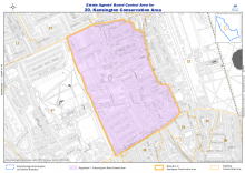
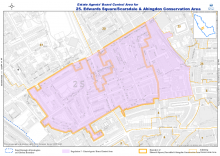
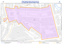
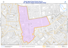
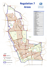
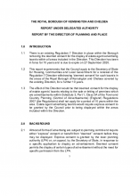
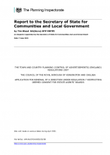
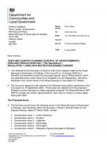
On 6 July 2021 the Secretary of State for Communities and Local Government in pursuance of the powers conferred to him by Regulation 7 of the Regulations directed that the provisions of Regulation 6 of the Regulations shall not apply to the display of advertisements within Class 3A of Schedule 3 of the Regulations for the sale and letting of premises or land within certain Conservation Areas and some island sites outside of Conservation Areas.
The direction shall have effect for a period of ten years and comes into force on 18 August 2021.
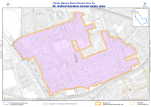
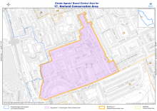
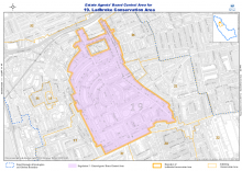
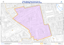
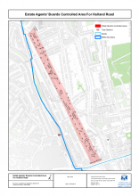
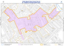
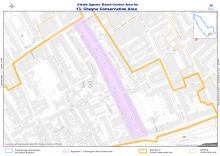
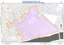
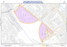
This means that, after 18 August, estate agent boards are not permitted to be displayed in the areas detailed below unless express consent has been given by the Council.
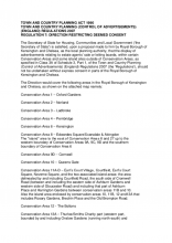
The following areas included in the direction are:
Conservation Area 1 – Oxford Gardens
Conservation Area 2 – Norland
Conservation Area 3 – Ladbroke
Conservation Area 4 – Pembridge
Conservation Area 5 – Holland Park: Holland Road on both sides
Conservation Area 6 – Kensington
Conservation Area 8 – Edwardes Square/Scarsdale and Abingdon
- The island area at the northern end of Earls Court Road bordering Kensington High Street enveloped by Conservation Area 8
- The island area to the east of Conservation Areas 8 and 27 up to the western boundary of Conservation Areas 9A, 9C, 9D and the southern boundary of Conservation Area 6
Conservation Area 9D – Cornwall
Conservation Area 10 – Queens Gate
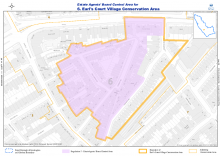
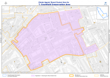
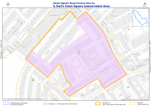
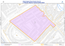
Conservation Area 11 (A-D) – Earls Court Village – Courtfield – Earl’s Court Square – Neverne Square, and two associated island areas:
the area delineated by and including Courtfield Road, the south side of Cromwell Road (between and including the eastern side of Ashburn Gardens and western side of Gloucester Road) and including that part of Ashburn Place and Harrington Gardens between conservation areas 11B and 10. Also the island area enclosed by conservation areas 10, 11B, 12 and 13A that includes Rosary Gardens, Brechin Place and the Old Brompton Road.
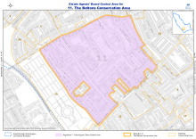
Conservation Area 12 – The Boltons
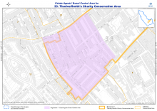
Conservation Area 13A - Thurloe
– Thurloe/Smiths Charity part (western part, bounded by and including Onslow Gardens (running north-south) and including Selwood Terrace between Old Brompton Road and Fulham Road)
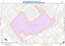
Conservation Area 16 – Sloane/Stanley
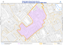
Conservation Area 17 – Chelsea Park/Carlyle
Conservation Area 18 – Chelsea (two southern parts only)
Sydney Street on both sides (entire length)
Cheyne Conservation Area 19 – only Oakley Street on both sides
Conservation Area 20 – Royal Hospital
Conservation Area 26 – Philbeach
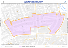
Conservation Area 27 – Lexham
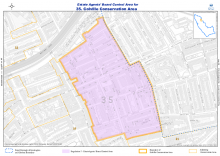
Conservation Area 28 – Colville
Borough-wide map
Background information
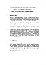
Hard copies of the report and the maps will also be available to view at the Customer Service Desk, Kensington Town Hall, Hornton Street, London, W8 7NX between the hours of 1000 and 1700 Monday to Thursday and between the hours of 1000 and 1300 on Friday.
Report an estate agent
If you see a board displayed in an area where it's not permitted, you can report it using the Planning Enforcement Allegation form:
Planning Enforcement Allegation form
Other useful documents
Secretary of State’s letter of 27 March 2010 [PDF] (file size 904Kb)
Map for the Direction [PDF] (file size 240Kb)
Council's letter to the estate agents of RBKC [PDF] (file size 844Kb)
Code of Conduct
On 1 April 2019 the Council issued a revised Code of Construction Practice (CoCP) replacing the original Code that was introduced in April 2016. The Code has been expanded to cover the full range of impacts that construction work has on the local environment and residents. It sets out what the Council expects from developers and those involved in construction activities in the borough.
Last updated: 19 July 2024

