Welcome to Carnival Information Hub
Notting Hill Carnival is a vibrant celebration taking place on Sunday, August 25, and Monday, August 26 2024. This beloved London tradition is rooted in resilience and community spirit and has been a mainstay since the mid-1960s.
The Carnival's origins trace back to a time of racial tensions faced by the West Indian and Caribbean communities. It was first part-inspired by the murder of Kelso Cochrane, a young black man living in North Kensington, in 1959. After his death, local activism in the community began to swell and a children's fair was organised by community members aimed to foster stronger ties, eventually evolving into the Notting Hill Carnival we know today.
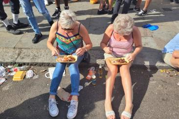
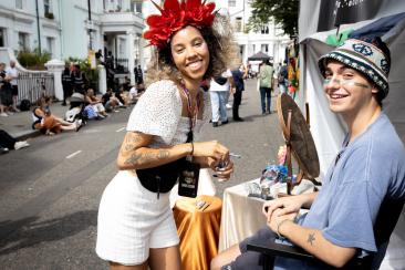
Notting Hill Carnival draws thousands, welcoming both residents and visitors. It's a vibrant showcase of West Indian culture, history, and significant contributions.
This hub provides key information about the event, including schedule highlights and details from the organisers, Notting Hill Carnival Ltd. It also explores the critical support provided by strategic partners like the Council.
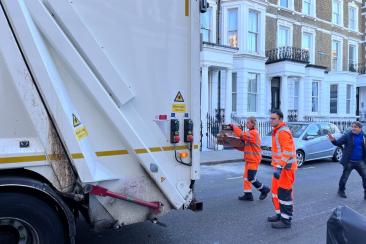
The Council plays a crucial role, ensuring the smooth running of the event. This includes managing road closures to create a safe event space and overseeing the large-scale clean-up efforts.
Notting Hill Carnival is a collaborative effort. Key partners include Notting Hill Carnival Ltd, the police, the Councils of Westminster and Kensington and Chelsea, the Greater London Authority, Transport for London and British Transport Police, London Fire Brigade, London Ambulance Service, the NHS and St John’s Ambulance.
This hub will be updated with more information as the event approaches. Get ready to experience the energy, music, and cultural richness of Notting Hill Carnival!